تسجيل الدخول
Sign up
تسجيل الدخول
Sign up
Filter
Search by image
تسجيل الدخول
Sign up
Home
>
فصول-فعاليات
>
هل هي إلهة نافورة!
Copy link
Pin it
Chaco
12
Share
Like
Antivirus
< Previous image
Next image >
Similar free stock photos
View all
يوكوهاما
حديقة ياماشيتا
إلاهة
برج البحرية
رذاذ الماء
ليل
مشهد
S
640 x 428 px
FREE
M
1920 x 1285 px
FREE
L
3872 x 2592 px
FREE
تحميل
Add to download folder
Upgrade
to download up to 10 images at a time.
Edit
Login
or
Sign Up
to download or edit the image
Standard license
This هل هي إلهة نافورة! photo can be used for personal projects. It can also be used for commercial projects in some cases.
Read more
Image information
المنشئ:Chaco
Title: هل هي إلهة نافورة!
Image ID: 292952
Downloads: 12
Model release: N/A
Property release: N/A
Categories:
فصول-فعاليات
/ هل هي إلهة نافورة!
طبيعة-المناظر-الطبيعية
/ هل هي إلهة نافورة!
القوام-خلفيات
/ هل هي إلهة نافورة!
Copy link
Pin it
Chaco
12
Share
Like
Antivirus
< Previous image
Next image >
S
640 x 428 px
FREE
M
1920 x 1285 px
FREE
L
3872 x 2592 px
FREE
تحميل
Add to download folder
Upgrade
to download up to 10 images at a time.
Edit
Login
or
Sign Up
to download or edit the image
Standard license
This هل هي إلهة نافورة! photo can be used for personal projects. It can also be used for commercial projects in some cases.
Read more
Image information
المنشئ:Chaco
Title: هل هي إلهة نافورة!
Image ID: 292952
Downloads: 12
Model release: N/A
Property release: N/A
Categories:
فصول-فعاليات
/ هل هي إلهة نافورة!
طبيعة-المناظر-الطبيعية
/ هل هي إلهة نافورة!
القوام-خلفيات
/ هل هي إلهة نافورة!
Similar free stock photos
View all
يوكوهاما
حديقة ياماشيتا
إلاهة
برج البحرية
رذاذ الماء
ليل
مشهد
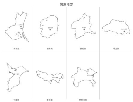
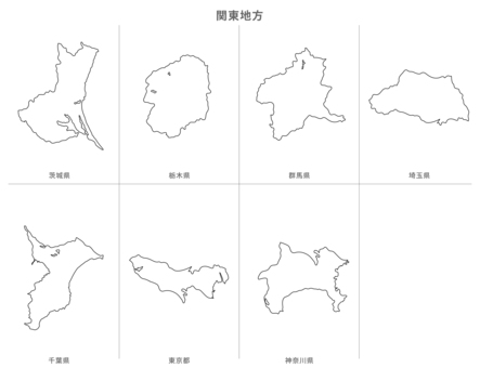
Similar free illustrations
View all
Similar free illustrations
View all
Comments
Login
or
Sign Up
to leave a comment
13,006,570
users
123,823
premium users
Today's users
إجمالي موارد الرسم التي تم تنزيلها
202,979,331
honeypot link